Interactive map Peru
About the GCFimpact and Produce Protect platform
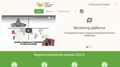
Produce and Protect Platform This spatial platform is part of the <a href="gcfimpact.org"> GCFimpact </a> and <a href= "http://produceprotectplatform.com"> Produce Protect Platform </a> to facilitate the monitoring of key jurisdictions that are on their path to agricultural rural development.
We integrate credible data to create an efficient and transparent spatio temporal dashboard to monitor and report on the progress toward territorial sustainability goals. Efficient monitoring at the territorial scale can strengthen multi-sector commitments to achieve deforestation goals and facilitate the delivery of incentives to the rural economy actors that need to make the transition to low-emission, low-deforestation production systems.
This map allows you to evaluate indicators on forest, agricultural production, and social indicators in each of the provinces and districts of Indonesia over the last years.
Use the available layers or define specific search criteria to identify districts performing according to your definition. Click on a district or municipality to see the production and forestry indicators on the right panel. For a detailed explanation of the use of the platform visit our tutorial on youtube.
Metadata
A key element of bringing transparency to the Produce Protect Platform is using the most up to date and official data to measure the indicators of performance relevant for each region. Transparent and well-documented metadata ensures that users recognize the source and methods applied to the data presented here. Context sensitive metadata is presented for the indicators reported in the form of dialogue boxes or tooltips windows.
Evaluate Performance
Evaluate places by:
| Select state |
|
| Select year |
|
Annual deforestation area
Forest cober area
Deforestation 2
| Select state |
|
| Select year |
|
| Select crop |
|
Producción de área en hectáreas
Distribution of hectares
Zoom to selected districts
LAYERS
| Layer | Department | Municipality |
|---|---|---|
| Administrative layer | ||
| Deforestation area in 2015 (km²) | ||
| Human development index 2010 |
National natural protected areas
Private natural protected areas
Regional natural protected areas
Forest and deforestation (2000-2016)
Carbon Stock (AGB)
Land use and Land Cober
Forest and deforestation (2000-2015)
Forest
Carbon Stock (AGB)
Land use & Land cover
Artificial area
Agricultural area
Planted grassland
Agricultural area mosaic with forest remnants
Forestry
Forest Vegetation
Mosaic of forest vegetation with agricultural areas
Rural vegetation
Wet Area
Natural Pasture
Mosaic of rural vegetation with agricultural area
Continental Water Body
Coastal Water Body
Discovered area
Deforested area
Antoandino Pajonal
Arid areas
Paramo
Setting
| Language |


